Pe Kerengo.ro găsiți oferte de cazare din Romania si Ungaria pentru hoteluri, pensiuni, vile, case de vacanță, apartamente și pensiuni agroturistice.
Aici puteți rezerva ușor și rapid cazare în orice parte al României si Ungariei.
Introduceți destinația dvs. în motorul de căutare, folosiți filtrele, găsiți cazarea potrivită și apoi rezervați-o cu câteva clicuri.
Căutați după tipul de cazare
Unități de cazare recomandate pentru grupuri organizate
Circuite in Romania
Excursii in Romania
Găsiți cea mai bună stațiune din România după temă!

Rezervarea de cazare rapidă, nu exista costuri ascunse, comisionul biroului este asigurat de gazda.
Rezervare online oriunde în România și Ungaria! Vă ajutăm să găsiți cele mai bune oferte preț/valoare.
Acceptăm plată și cu tichet/card de vacanta.
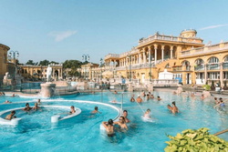
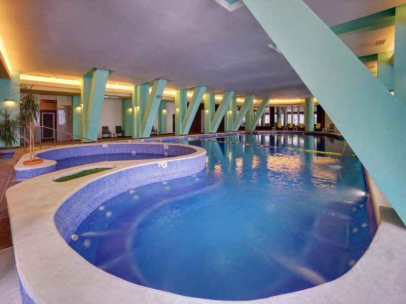
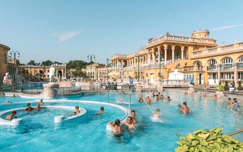
Top 5 stațiuni balneare în Ungaria, cu oferte cazări

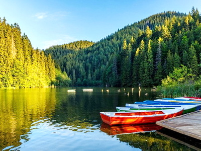
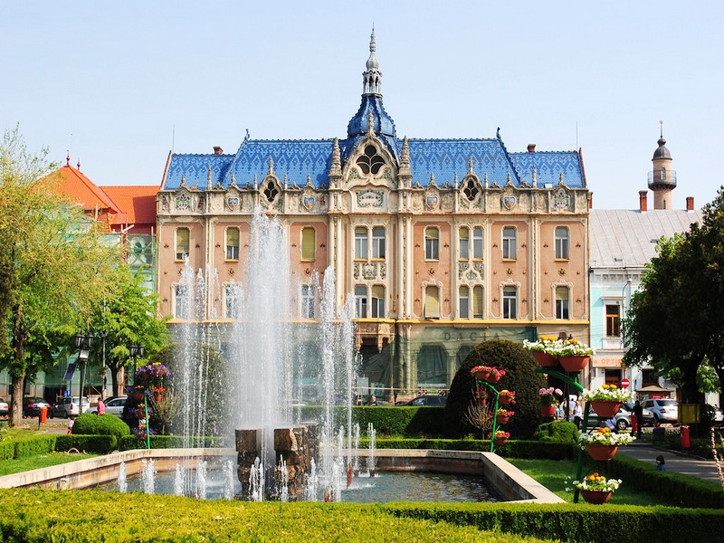
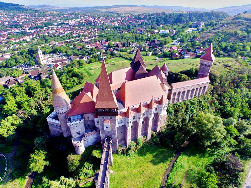
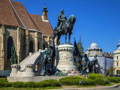
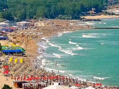
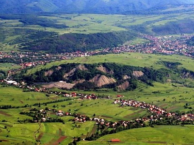
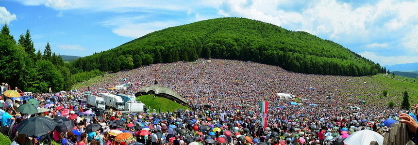
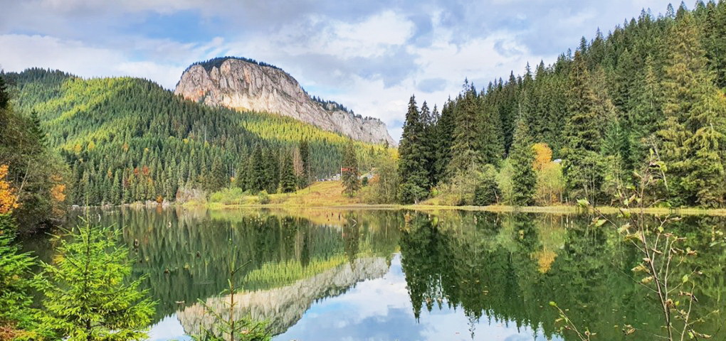
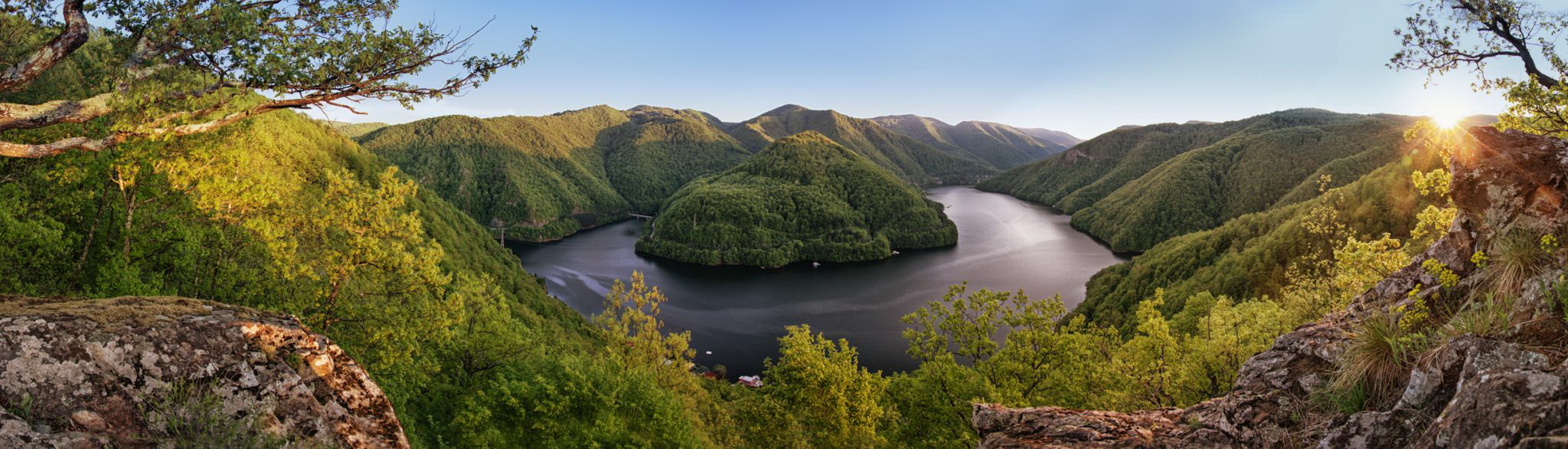
Cele mai frumoase 44 de locuri de vizitat din România
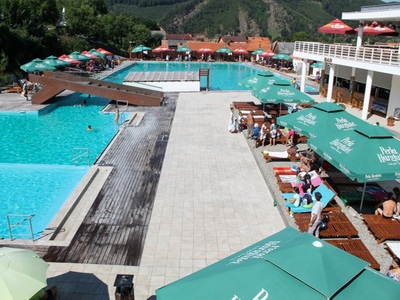
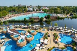
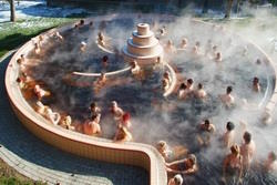
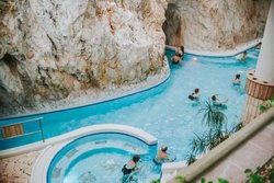
Cele mai bune 27 de stațiuni balneare din Romania
- Băi termale, băi cu sare, băi cu nămol și mofete -
Turismul medical
În prezent România dispune de circa 160 de stațiuni si localități balneare cu factori de cură, ca: apele minerale și termominerale, lacurile terapeutice, nămolurile terapeutice, emanații naturale de gaze terapeutice, saline, plantele medicinale, factori climatici, aeroionizare.
Ele sunt localizate în principal între zona de contact între dealuri și podișuri cu arealul montan și depresionar (stațiunile Buziaș, Covasna, Tușnad, Călimănești, Băile Herculane, Vatra Dornei).
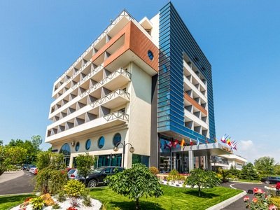
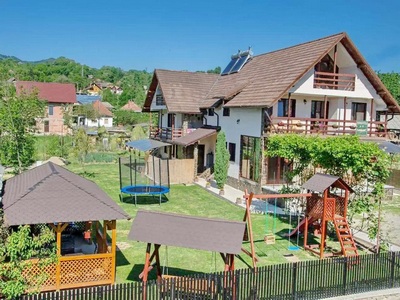
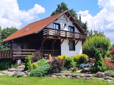
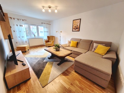
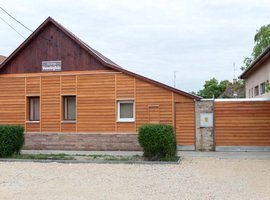
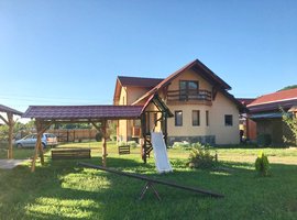
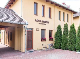
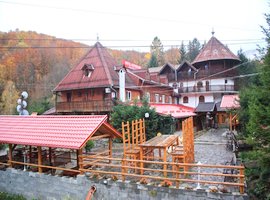
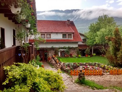
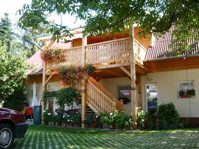
Cele mai noi cazări
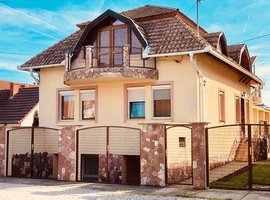
Cazări evidențiate / recomandate
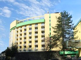
Cele mai populare locuri de cazare
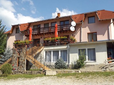
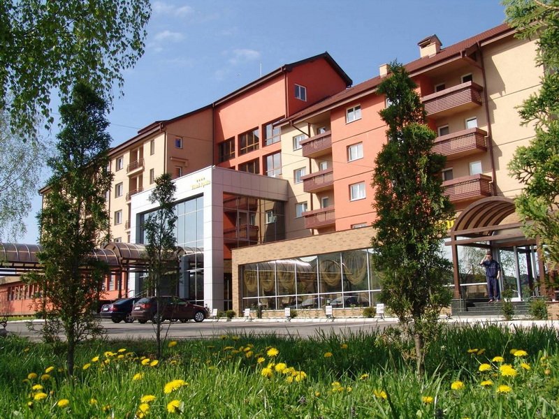
Destinații populare
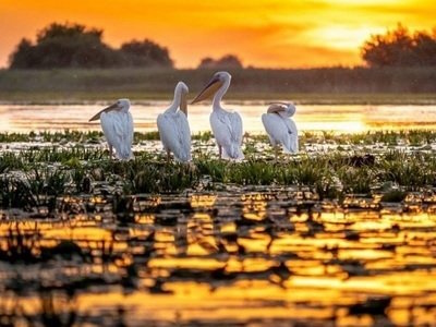
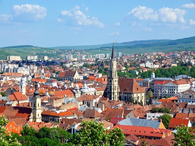
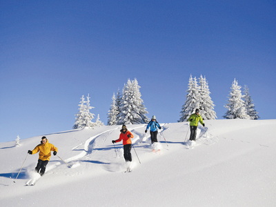
Descoperiți România
Descoperiți Ungaria
Inspirație pentru următoare aventură în România
Newsletter
Mai rapid, mai ieftin! Înscrie-te și obține cele mai bune oferte